Hiking
Hiking
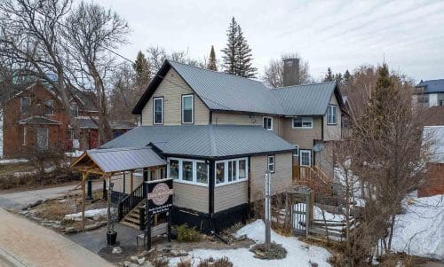
Hiking the Bracebridge Resource Management Centre
Spring Hike Along the Muskoka River
Located a few minutes north of the town of Bracebridge, the Bracebridge Resource Management Centre (BRMC) offers a network of hiking, biking and groomed classic ski and skate trails, all maintained by the Town of Bracebridge and an active group of volunteers.
Access to the parking lot is directly off Hwy 11 northbound only a few kilometres north of the turn off for Hwy 117. The Centre comes up quickly when you’re driving from the south so it’s a good idea to keep your eyes peeled and slow down a bit as soon as you go under the highway overpass. If you’re approaching from the north the easiest way is to turn left across from High Falls road to access the northbound lane.

Nestled a short distance in from the road there is a parking lot with a couple of outhouses should nature call upon your arrival. Other than that there are no other facilities, so make sure you bring whatever water and trail snacks that you might need and as always, pack out your garbage.
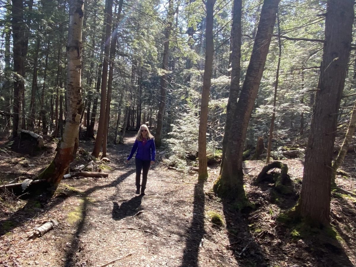
We have driven by BRMC so many times but have stopped only to let the dogs out and to stretch our legs for a few minutes on our way home to Kearney or when travelling farther north. On this sunny day in early May we thought we’d take the time to explore and see what treasures we would discover.
There are maps posted at the beginning of the trail showing the hiking, biking and cross country ski routes. The centre has 19 km of hiking and mountain biking trails available spring through fall and just over 16 km of groomed classic and skate ski trails during the winter.
John and I are looking forward to checking out the trails for some classic skiing close to home, come next winter. We’ll be sure to let you know all about it!
There is a half km designated and signed snowshoe loop which must be quite pretty during a fresh snowfall and enjoyable for beginners and those with young children. Snowshoeing on groomed ski trails is highly frowned upon. Try kicking up a bit of your own fresh powder off trail as that’s the fun part of the true snowshoe experience.

We decided to walk the main trail that for a good portion of its length follows the Muskoka River with pretty scenic views of the water. The outside loop is about 7 km in length and includes sections of trails 1 through 4 on the map. The route is pretty easy to follow along the river's edge but additional trails coming and going at different points can create a bit of confusion as they are not marked all that clearly.
We took a photo of the trail map before we began our hike and found ourself referring to it several times along the way where these trails intersected.
Just off the main trail is an offshoot to Duck Chutes which is well worth the few minutes walk required to get to the edge of the river. We experienced the chutes during higher water levels and it really was quite pretty even before the leaves were on the trees. We certainly didn’t miss the hungry black flies who showed up to the party just a few days later.
We spent some time at the lookout to the chutes enjoying the view and taking photographs from several spots along the bank. It will definitely be on our list of favourites to return to during the fall colours and throughout the winter for photographs.
The hiking trail is rated as easy to moderately challenging. We found it to be a wide level trail with minimal inclines and would suggest that it’s more of a walking trail with opportunities for observing the geography, birds and local wildlife. None the less it proved to be a very pretty and enjoyable trail winding through a typical Muskoka forest with several interpretative posts highlighting points of interest with the intent of educating trail users about forest management.
The trails are shared by both mountain bikers and hikers so as trail etiquette suggests when hiking, biking or skiing, stay to the right to let others that are moving more swiftly, safely pass by. We were on the trails early in the season so other than one other hiker and his dog, we pretty much had the place to ourselves.

Upon approaching the parking lot at the end of our hike we met up with two mountain bikers who were getting ready to hit the trails. MORCA (Muskoka Off-Road Cycling Association) provide a host of volunteers that build and maintain the routes at BRMC. They hold scheduled monthly trail maintenance days and can be notified for fallen trees or other obstructions or damage to trails.
They also provide a good map of the centre and information on trail conditions on their website.
We look forward to returning to BRMC sometime soon with our mountain bikes and again with our skis when the snow flies! ( I know, it’s only just May… that was cruel ! )